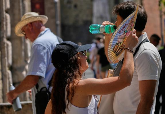
Wintering on the Cusp of Summer
Winter Returns from the Weekend Onwards: Snow, Storms, and Gales in May
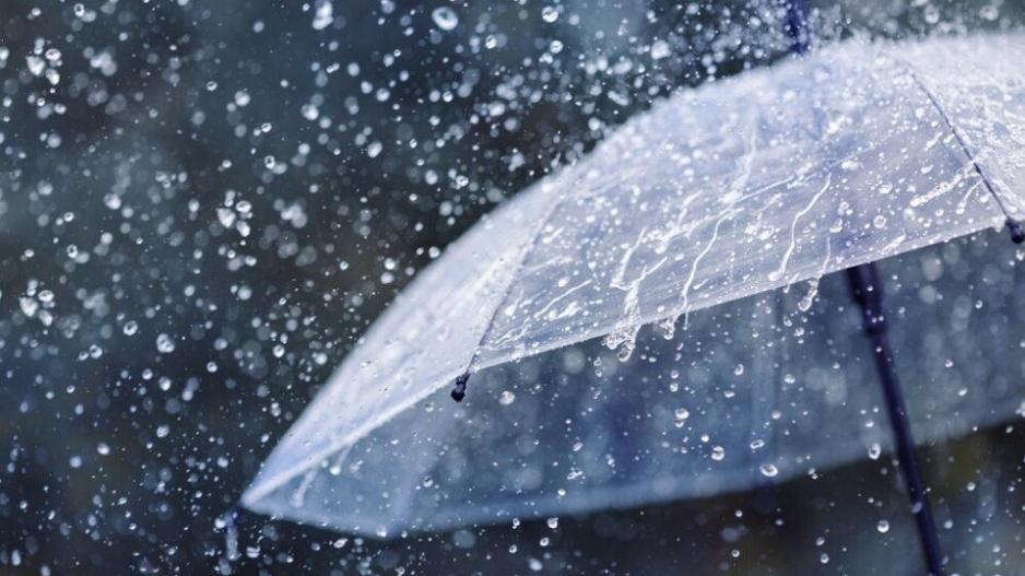
While the calendar says spring, the current weather paints a starkly winter picture across the island. A cold air mass and low pressure are currently dominating the region, bringing heavy rain and isolated thunderstorms, particularly in the western regions.
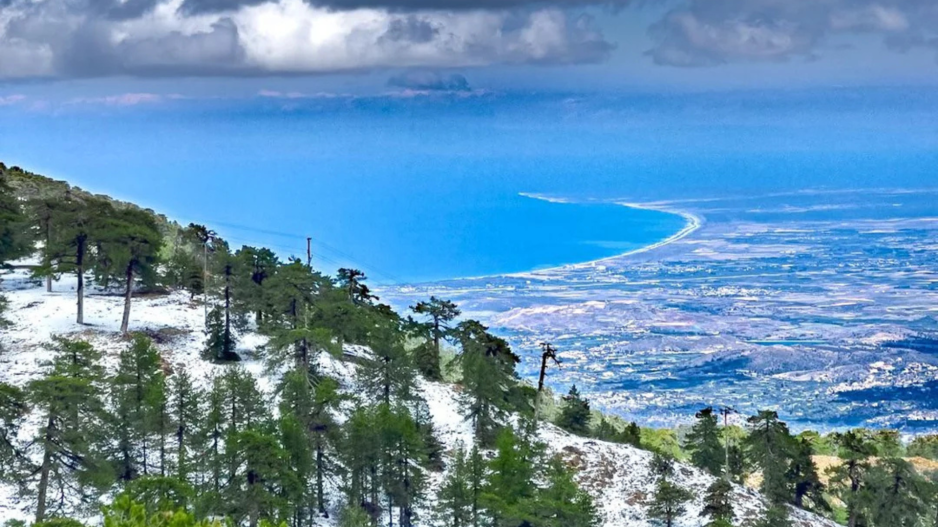
It is officially "winter" at the highest peaks as snow is falling on the top of Troodos, with the snow depth at Chionistra already measured at 14 cm.
Adding to the winter scenery, the day is marked by extreme wind conditions. Southwesterly to northwesterly winds are reaching 7 Beaufort on the coasts, with gale-force gusts hitting between 8 to 9 Beaufort in some areas.
Temperatures have significantly dropped, reaching only 18°C inland and a cold 8°C in the mountains. Tonight, temperatures in the high peaks will drop to 3°C, leading to localized frost.
|
Location |
Daytime Temp |
Nighttime Temp |
Conditions |
|
Inland |
18°C |
8°C |
Rain / Clouds |
|
Coasts |
19°C |
11°C - 13°C |
Gales (7-9 Beaufort) |
|
Mountains |
8°C |
3°C |
Snow & Frost |
The wintry scene is temporary. The current weather conditions are expected to improve starting tomorrow afternoon. A noticeable temperature rise is forecast through Thursday, eventually bringing the weather back in line with normal seasonal averages.